Temperature
temperature in fahrenheit
Trending down by 5.7%
Since 02/22/2026
Humidity
humidity in percent
Trending down by 2.0%
Since 02/22/2026
Pressure
pressure in inches of mercury
Trending flat
Since 02/22/2026
Solar Radiation
solar radiation in watts per square meter
Trending flat
Since 02/22/2026
UV Index
uv index
Trending flat
Since 02/22/2026
Wind Speed
wind speed in miles per hour
Trending up by Infinity%
Since 02/22/2026
Rain Rate
rain rate in counts per hour
Trending down by 100.0%
Since 02/22/2026
Air Quality Index
air quality index
Trending down by 5.6%
Since last Monday at 12:00 AM
CO2 Concentration
co2 concentration in parts per million
Trending flat
Since last Monday at 12:00 AM
TVOC Index
tvoc index
Trending up by 192.8%
Since last Monday at 12:00 AM
NOx Index
nox index
Trending down by 48.8%
Since last Monday at 12:00 AM
Consumption Total
930 MW
Last updated today at 9:26 AM
Production Total
696 MW
Last updated today at 9:26 AM
Import Total
254 MW
Last updated today at 9:26 AM
Export Total
20 MW
Last updated today at 9:26 AM
Fossil Free Percentage
99 %
Last updated today at 9:26 AM
Renewable Percentage
97 %
Last updated today at 9:26 AM
Power Consumption Breakdown
Current power consumption breakdown by source
Last updated today at 9:26 AM
Power Production Breakdown
Current power production breakdown by source
Last updated today at 9:26 AM
Power Import Breakdown
Current power import breakdown by zone
Last updated today at 9:26 AM
Power Export Breakdown
Current power export breakdown by zone
Last updated today at 9:26 AM
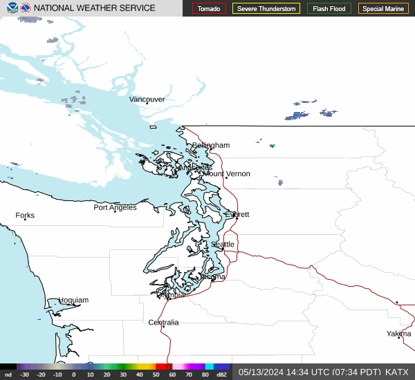
katx radar
radar image from the katx radar
noaa max temp
noaa maximum temperature forecast
goes-18 pnw extent3
goes-18 pacific northwest extent3

goes-18 pnw sandwich
goes-18 pacific northwest sandwich


